Long before cloud storage and remote file access became industry standards, USA Imaging, Inc. was already laying the groundwork—one scanned document at a time.
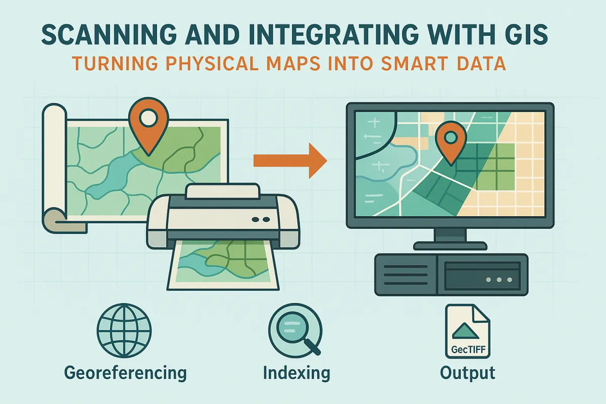
Paper maps, engineering drawings, and site plans still line the shelves of many city planning departments, utility offices, and engineering firms.
In today’s fast-moving world of infrastructure planning and utility mapping, efficiency and accuracy are everything. When PSOMAS—a renowned consulting firm known for advancing civil engineering, survey, and geospatial solutions—needed to digitize thousands of legacy civil plans, they turned to USA Imaging, Inc. for a trusted scanning solution.
Approximately 10 years ago, we partnered with the City of Oceanside to digitize thousands of engineering plans, helping them transition from paper-based archives to an organized, searchable digital system.