Scanning and Integrating with GIS: Turning Physical Maps into Smart Data
Scanning and Integrating with GIS: Turning Physical Maps into Smart Data
By USA IMAGING, Inc.
Paper maps, engineering drawings, and site plans still line the shelves of many city planning departments, utility offices, and engineering firms. While they’ve served their purpose well over the decades, physical maps are static, fragile, and often inaccessible. Enter the power of GIS integration through scanning—a transformative process that brings old data into a new digital world.
🔍 Why Scan for GIS?
By digitizing physical maps and integrating them into Geographic Information Systems (GIS), organizations unlock spatial data that can be searched, layered, and analyzed. This is especially valuable for:
City infrastructure planning
Utility mapping (water, sewer, electrical)
Transportation and road development
Environmental and land use tracking
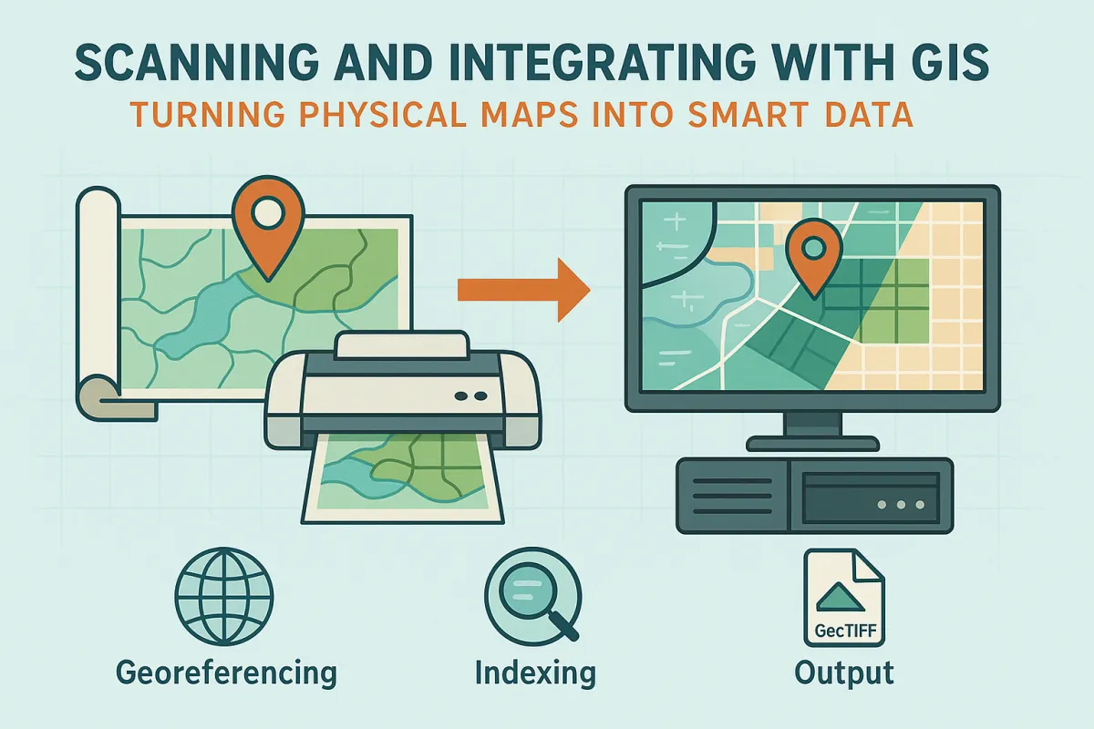
🖨️ The Scanning Process
At USA Imaging, we specialize in high-resolution large-format scanning (typically 300–600 DPI), preserving fine linework and annotations. Once scanned, these files are:
Georeferenced (assigned real-world coordinates)
Indexed for quick retrieval
Output in GIS-compatible formats like GeoTIFF, PDF, or CAD
🗺️ From Static to Smart
What once was a rolled-up set of blueprints can now be viewed on-screen alongside current zoning layers, environmental overlays, or underground utilities. It’s not just about convenience—it’s about decision-making with data clarity.
✅ Key Benefits
Faster project planning
Reduced physical storage needs
Improved field access via tablets or mobile
Preservation of aging originals
Whether you’re a municipality preparing for the next infrastructure phase or a civil engineer wanting to modernize your records, scanning for GIS is a smart investment in your future workflows.
